


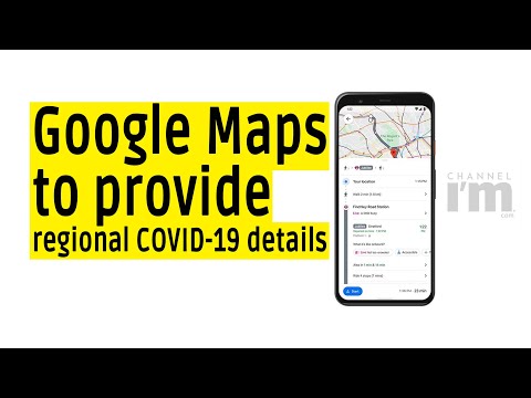
Google Maps to allow users to check regional COVID-19 details
New feature will update users on information like all-time detected cases in an area
Also, display death toll and an average caseload growth trend of the last 7 days
Google Maps also added live crowd feature for commuters on public transport
Comes at a time when COVID-19 cases surge owing to winters, pollution and festive season


